3d Modelling and Spatial Data Management
Transform your projects with our 3d Modelling and Spatial Data Management services, turning complex spatial data into precise, actionable insights with unmatched efficiency and accuracy.
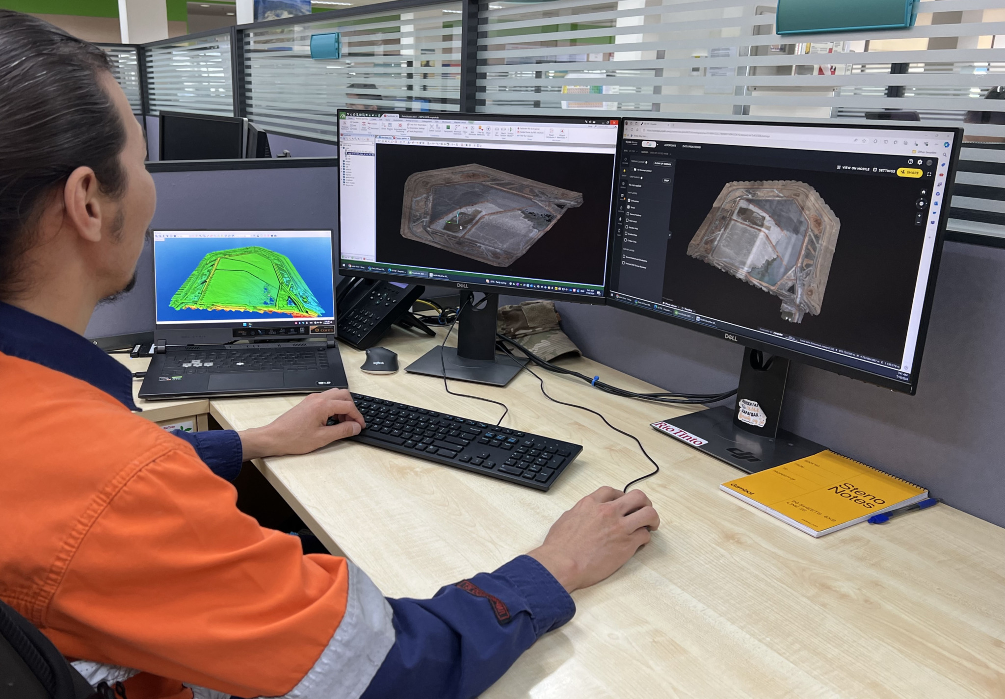
Our 3d Modelling and Spatial Data Management services provide comprehensive solutions for creating detailed, accurate representations of the physical world and managing its spatial data efficiently. We utilise advanced technology, including high-resolution laser scanning and photogrammetry, to capture precise 3D data of structures and landscapes. This data is processed using industry-leading software to create detailed 3D models for visualisation, simulation, and analysis, offering valuable insights for project planning and decision-making.
Efficient data management is crucial for handling large volumes of spatial data. Our team ensures that all data is well-arranged, organised, stored, and easily accessible, facilitating seamless integration with your existing systems. We use powerful data management software to offer customised solutions designed for your project-specific needs, ensuring you have the right information at your fingertips.
We provide robust database solutions to manage and store vast amounts of spatial data. Our databases, managed with cutting-edge tools, handle high volumes of data efficiently, ensuring quick access and retrieval. With our well-arranged spatial data management and database solutions, Best Survey delivers precise outcomes, forming the apex of the success of your project. Let us help you turn complex data into actionable insights, enhancing the efficiency and effectiveness of your operations.