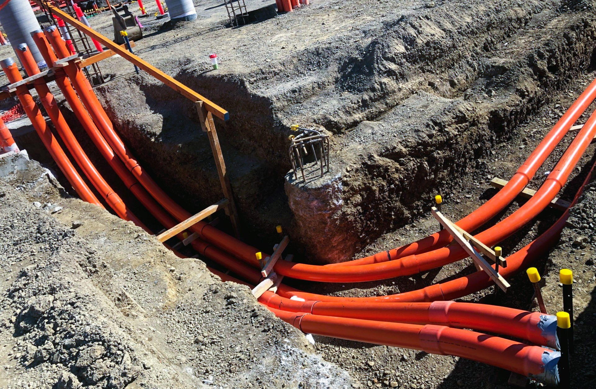
Underground Utility Mapping
Our expertise extends to Underground Utility Mapping, providing you with critical insights into subsurface utilities to ensure your projects are safe, efficient, and compliant with regulations.
Our Underground Utility Mapping services utilise advanced methods and technologies to accurately locate, identify, and map subsurface utilities, including water mains, gas lines, electrical conduits, and telecommunications cables.
This detailed mapping is essential for:
- Construction Planning: Preventing costly delays and accidents by identifying utility locations before excavation begins.
- Infrastructure Maintenance: Assisting in the maintenance and repair of existing utilities by providing precise location data.
- Regulatory Compliance: Ensuring compliance with local regulations and safety standards by accurately mapping underground utilities.
- Risk Management: Mitigating the risk of damaging utilities, which can lead to service disruptions, financial penalties, and safety hazards.
Technologies Used:
- Ground Penetrating Radar (GPR): A non-invasive method that uses radar pulses to image the subsurface, identifying utilities without disturbing the ground.
- Electromagnetic Locators: Devices that detect and map the electromagnetic fields generated by buried utilities.
- Surveying Instruments: Precise instruments to locate and pick up underground utilities.
Our services ensure your projects are executed with the utmost precision and safety. Trust our advanced technologies and expert team to provide the comprehensive subsurface data you need for successful project outcomes.