Services
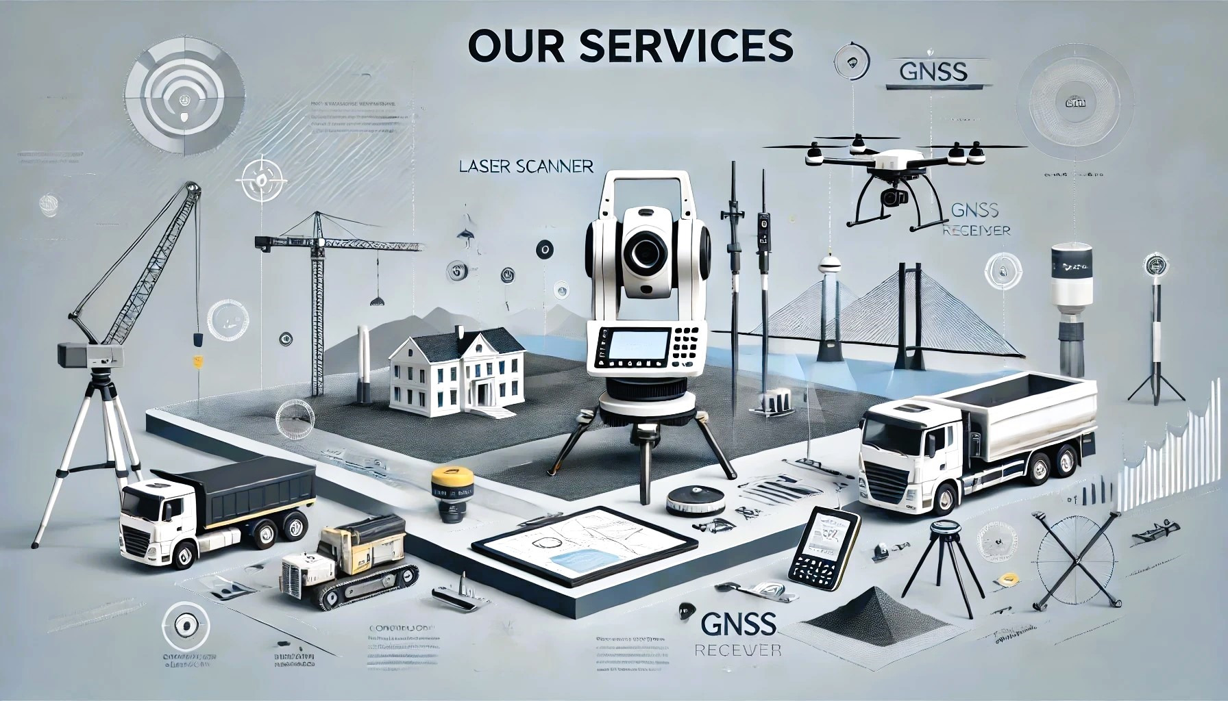
At Best Survey, we take pride in offering precise, technologically advanced surveying solutions tailored to your unique needs.

Training and Consulting Services
Empower your team with Best Survey's Training and Consulting Services and achieve superior results in all your surveying projects.
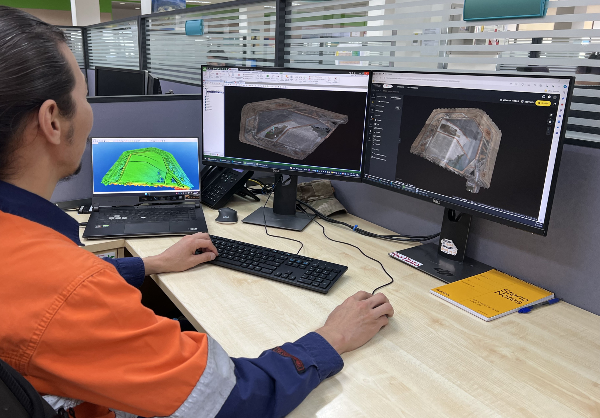
3d Modelling and Spatial Data Management
Transform your projects with our 3d Modelling and Spatial Data Management services, turning complex spatial data into precise, actionable insights with unmatched efficiency and accuracy.

Machine Control Systems
Leave your Machine Control needs to us. We handle design data preparation, file creation, site localisation, and uploads, ensuring seamless integration and operation for your project.
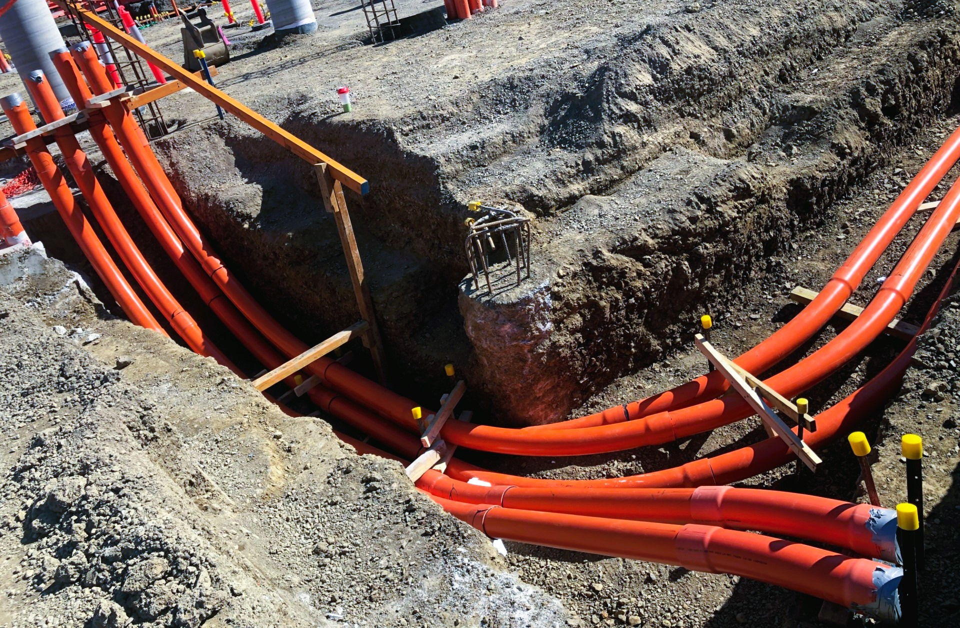
Underground Utility Mapping
Our expertise extends to Underground Utility Mapping, providing you with critical insights into subsurface utilities to ensure your projects are safe, efficient, and compliant with regulations.

Reality Capture - Drone / Laser Scanning
By leveraging the latest in drone and laser scanning technology, along with our expertise in Reality Capture, Best Survey ensures that you receive the most accurate and detailed data available.
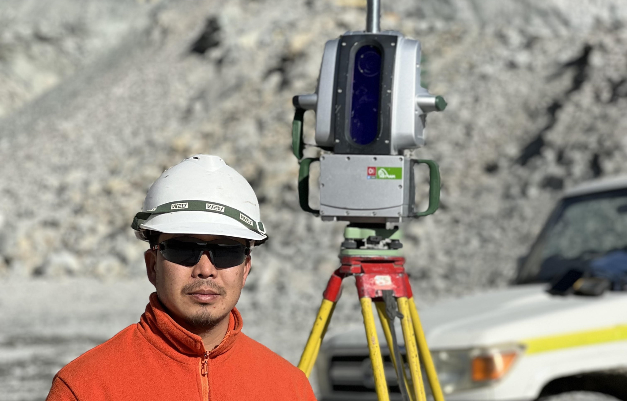
Feature and Level Surveys
We excel in providing precise Feature and Level Surveys, ensuring comprehensive and accurate mapping for your project needs. Our expertise guarantees reliable data for seamless planning and successful execution.
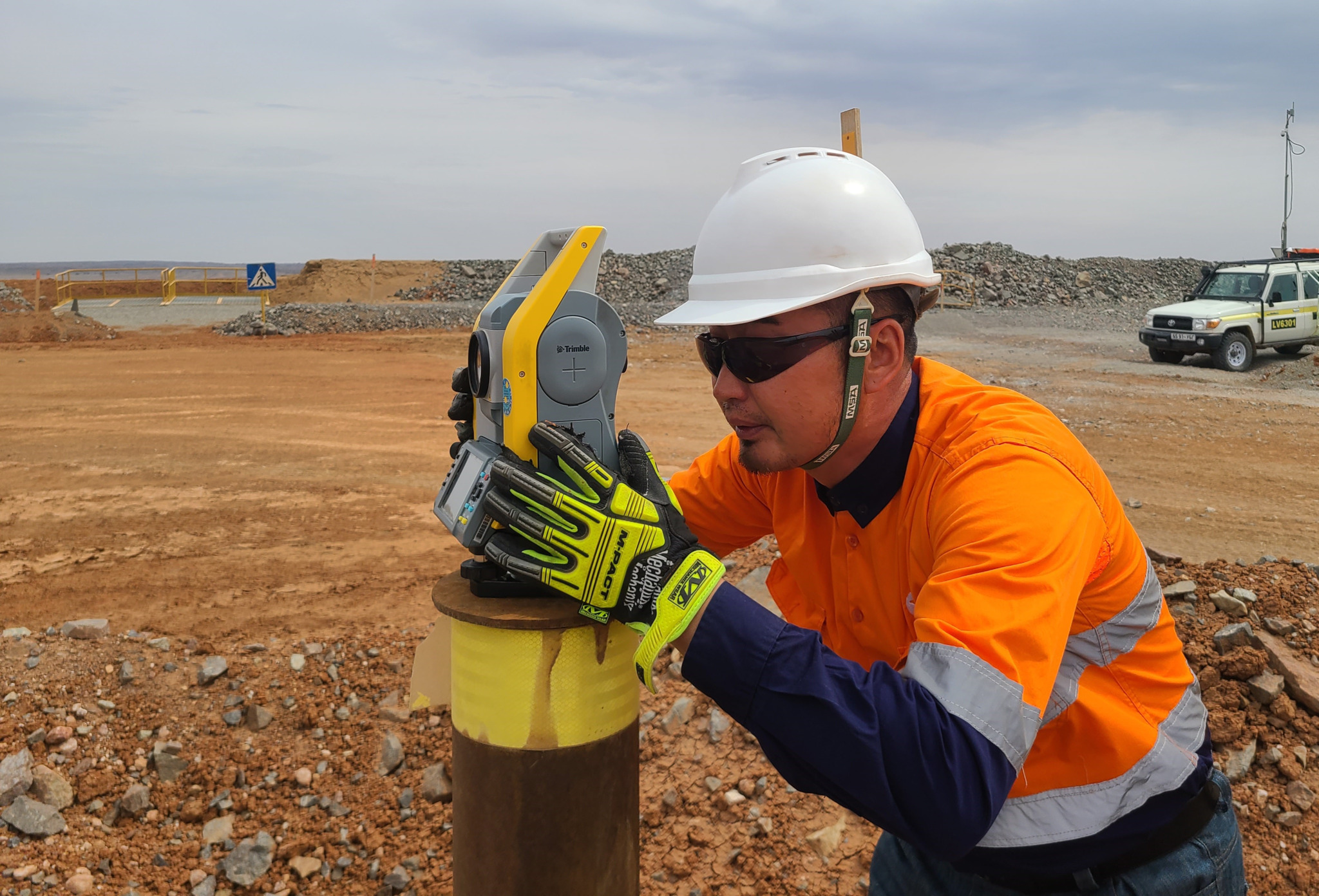
Control Network and Monitoring Surveys
We believe that precision and accuracy are BEST achieved by combining innovative technology with extensive and proven experience.
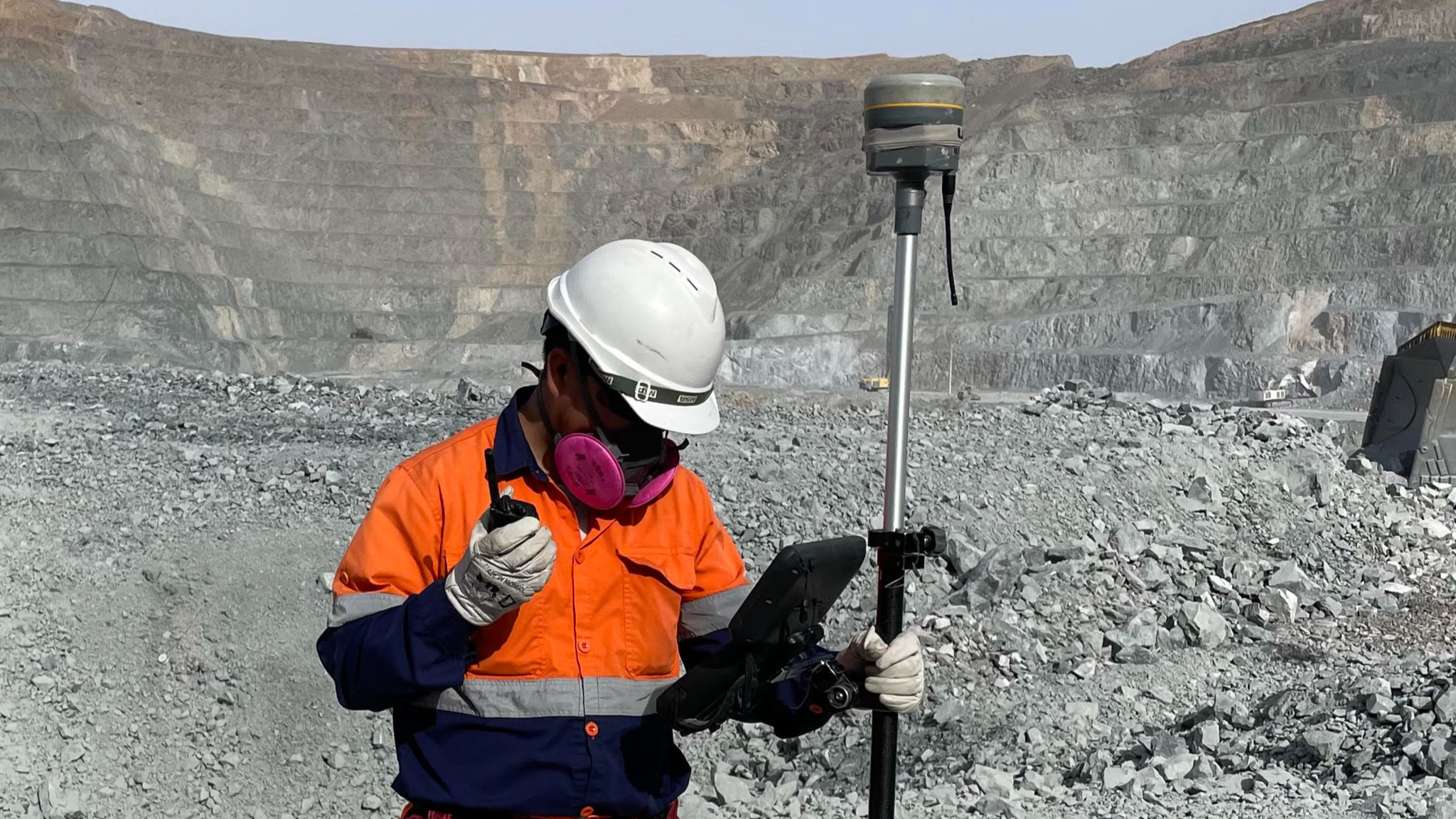
Mining and Engineering Surveys
Our Mining and Engineering Surveys provide a wide range of specialised services using cutting-edge technology and industry expertise. We deliver accurate and detailed surveys, enabling our clients to make informed decisions, optimise operations, and ensure safety and compliance in their projects.